Dry Weather Expected in SE Wyoming Could Spell Bad News for Fires
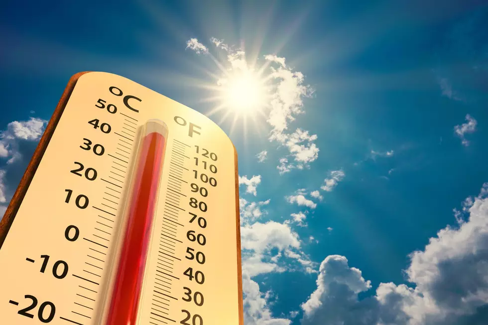
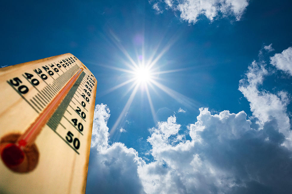
A cooler, drier weather pattern setting up through mid-June could mean more fires this summer, according to the National Weather Service in Cheyenne.
The agency issued the following statement Wednesday morning:
Greetings! Tired of the warm weather yet? If so, we may be able to bring you some good news. There looks to be a cool down in the forecast. The Climate Prediction Center is forecasting in their 6-10 Day and 8-14 Day Outlooks a slight pattern change for southeast Wyoming and Nebraska Panhandle. Low pressure is forecast to remain nearly stationary over the Pacific Northwest through mid June, bringing cooler temperatures and above normal precipitation to the northern tier states of the northern Rockies. The bad news? It also looks like southeast Wyoming and Nebraska Panhandle will experience drier than normal rainfall chances. That could accelerate our vegetation dry out and bring us an increased chance for more fires for the area, especially to our southern neighbors in Colorado. Outlook on temperatures across southeast Wyoming is for highs in the 60s and lows in the 40s for next week. Hopefully, we see a few low pressure systems move through that give us some rainfall during this time.
KEEP READING: Get answers to 51 of the most frequently asked weather questions...
More From Y95 Country