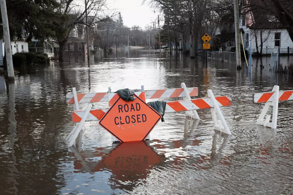
Flood Watch Issued For Cheyenne, SE Wyoming For This Weekend
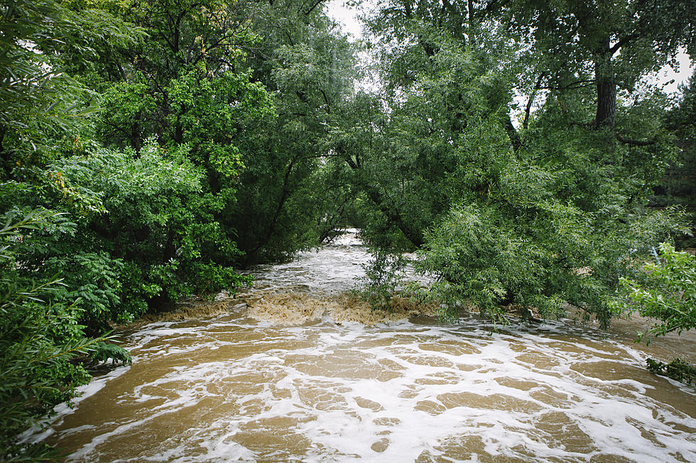
With heavy rain in the forecast for Friday afternoon and evening, a flash flood watch has been issued for southeast Wyoming, including Cheyenne, according to the Cheyenne office of the National Weather Service.
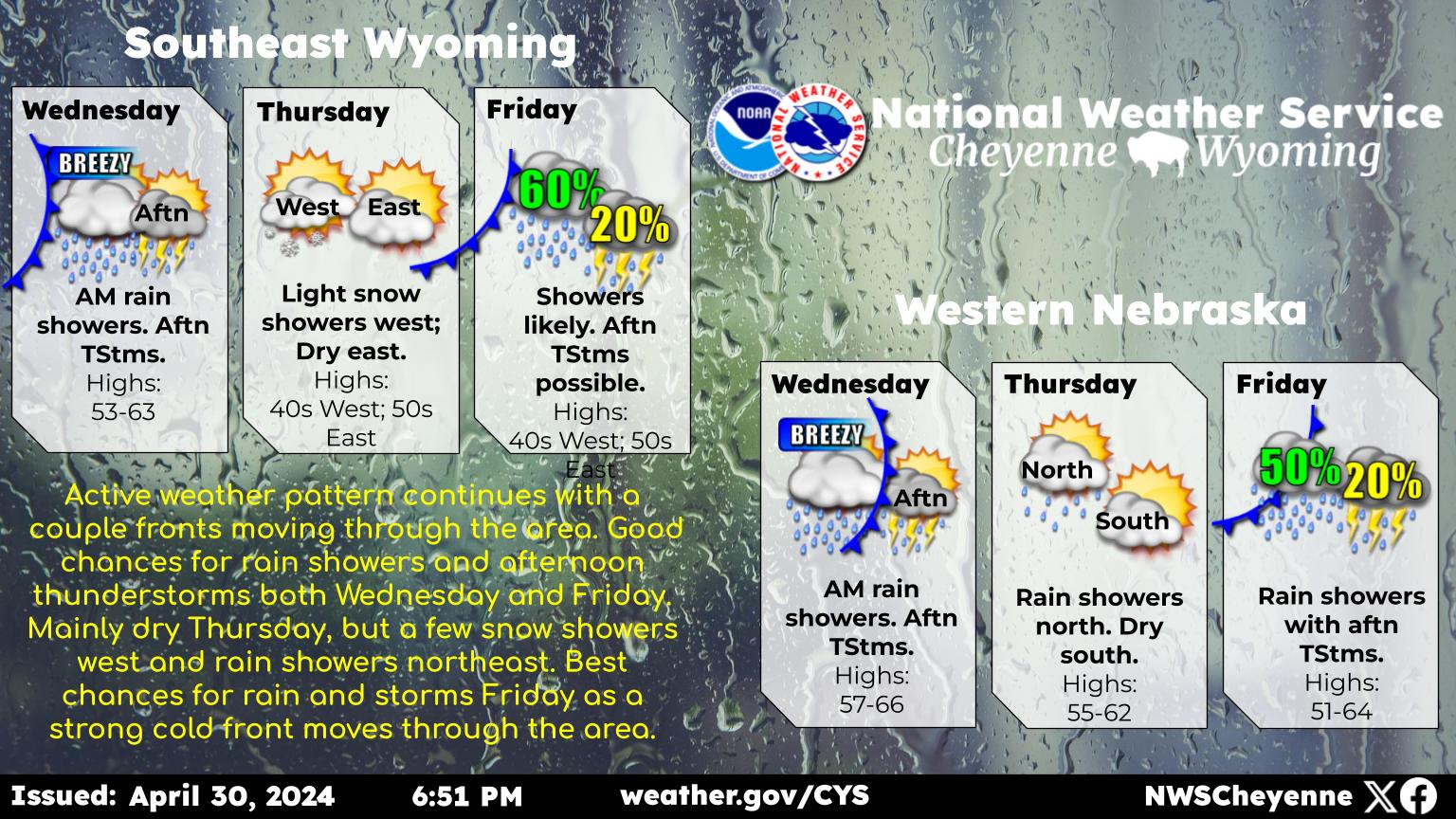
The service issued this statement on its website on Thursday:
''A Flood Watch is in effect for Friday evening through Saturday afternoon for areas east of Interstate 25 (highlighted in green on the Hazard Graphic). A Winter Storm Watch is also in effect for the Snowy Range. Low pressure is forecast to slowly move through southern Colorado Friday night into Saturday. This system looks to bring fairly widespread moderate to heavy rain to the communities in the watched area. Some of these locations still have widespread snow drifts from our past blizzard. Should this rain fall on areas that do still have an existing snow pack, we could see a rapid snow melt that could lead to areas of flooding. This is especially true across the northern Nebraska Panhandle that is already dealing with high rivers and creeks. Stay tuned to later updates of the forecast on this developing situation.''
More From Y95 Country


![Returning Soldier’s Surprise Reunion With Son Is What We All Needed [Watch]](http://townsquare.media/site/204/files/2019/03/solder-returns-surprises-son.jpg?w=980&q=75)